Greater Cairo Metro Line 3 - Phase (1-4)
Phase 1
Cairo Metro Line 3 route goes from Cairo Airport (on the east) to Imbaba and Mohandeseen (on the west). It passes through CBD area and Heliopolis in the western side. Mohandeseen area shall be served through a branch connected with the main line going to Imbaba.
The total length of the line is about 40 km. It is made of three parts:
A common section from Cairo Airport to Kit Kat Station, of about 26.7 km length.
A north - west branch from Kit Kat to Rod El Farag Corridor of 6.5 km
A south - west branch from Kit Kat to Cairo University of 7.1 km
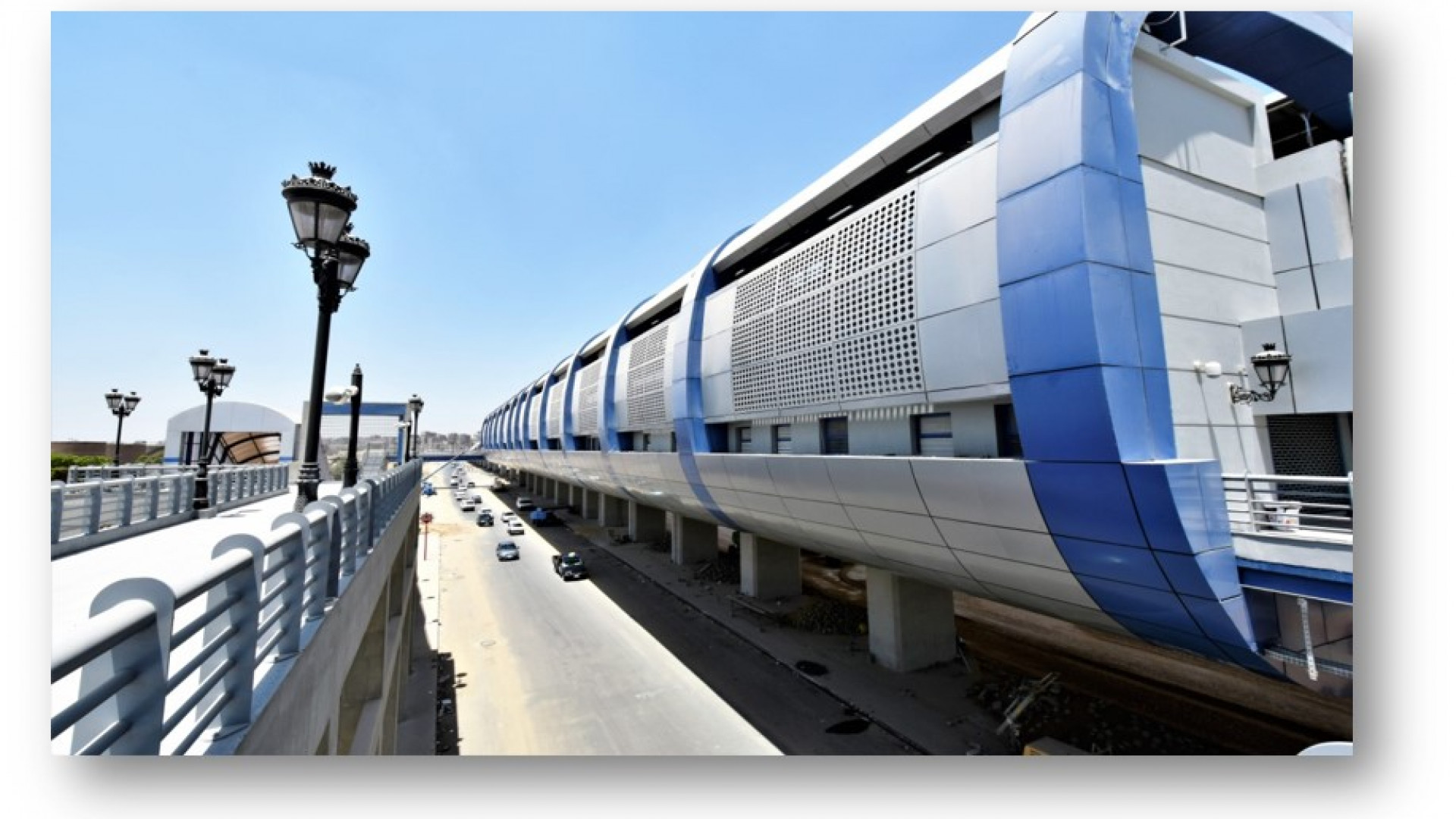
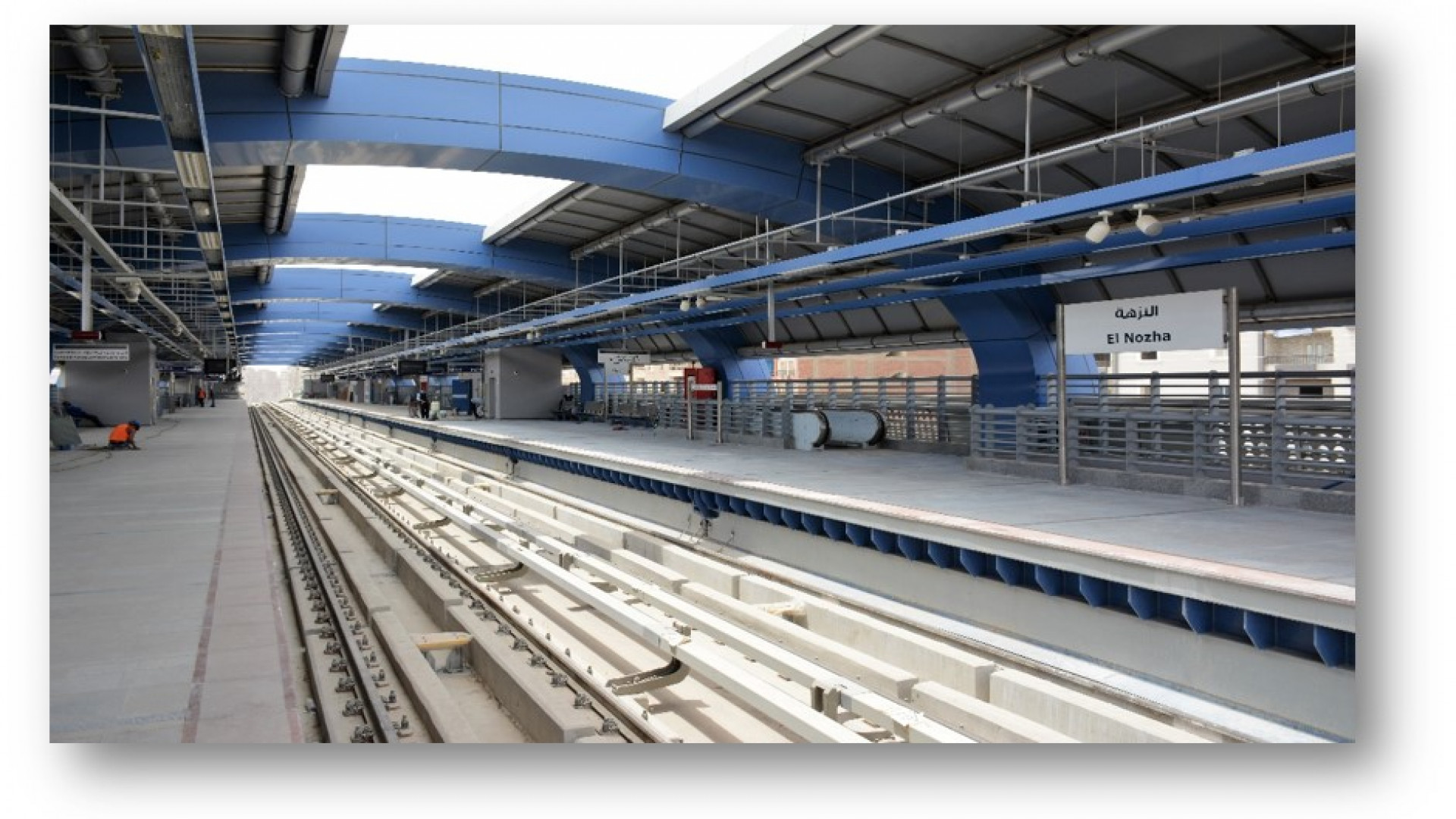
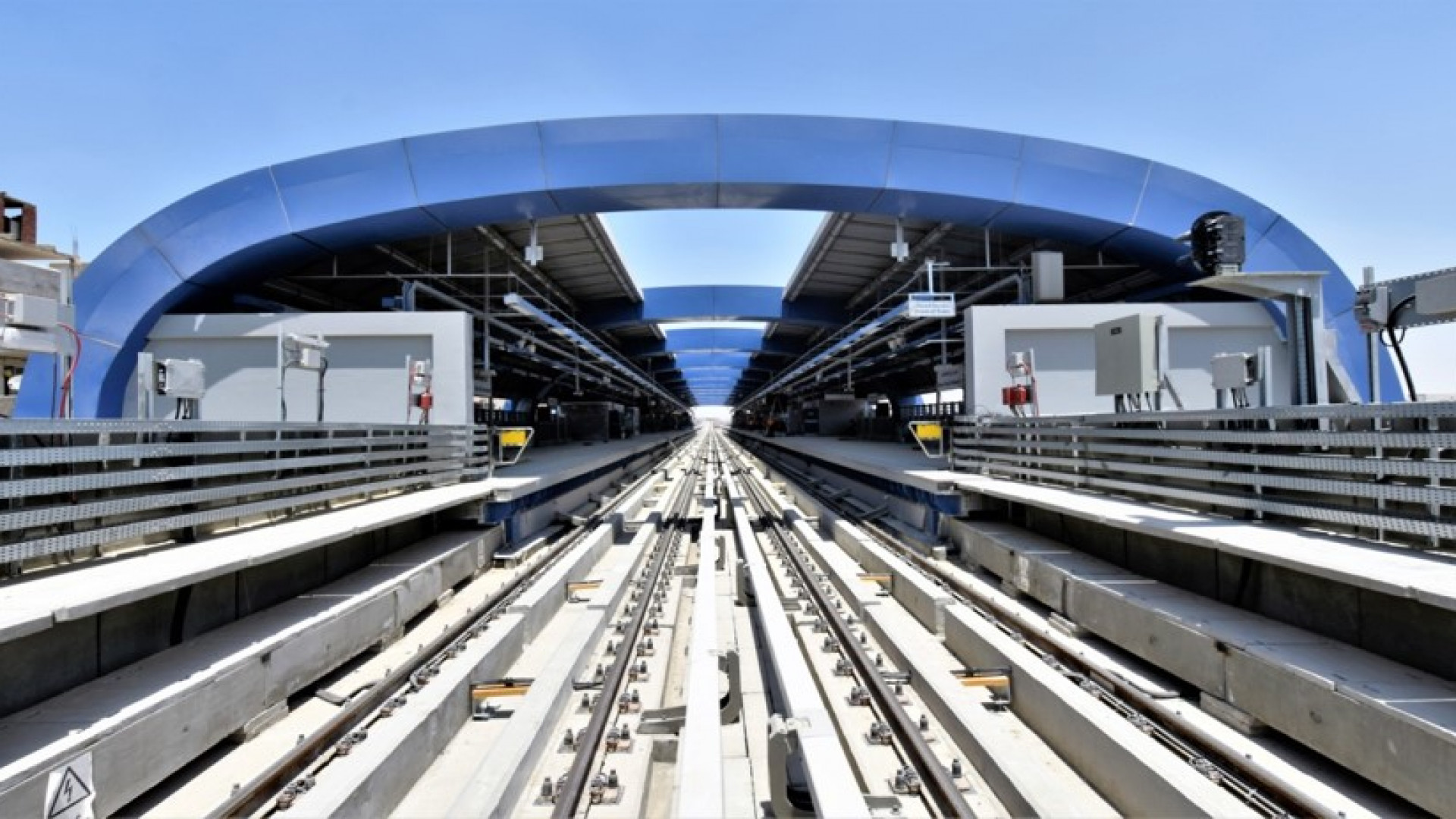
All line is underground, except nearly 3.5 km of at grade section:
On the north - west branch, a section between Ring Road station and Rod El Farag Corridor: 1 km.
In the east part of the main line, a section between Ain Shams and Cairo Airport: about 2.5 km
Phase 1 is the phase that links the CBD area with Abbasia area.
It starts at the Attaba area and terminates at Abbasia area
This section shall provide the necessary interchange passenger facility with Metro Line 2 at Attaba Station and shall allow for Attaba Station to operate as temporary terminal station
It is about 4.2 km length and includes fire stations.
The implementation of its whole length will be underground (tunnel).
Siding and maintenance facility at Attaba shall be built in this phase with a connection link to the main line to serve phase 1 and phase 2.
Phase 2 is the phase that links Abbasia area with the center of Heliopolis.
It runs between Abbasia and Horoun shaft._x000D_\n This section shall provide the necessary interchange passenger facility with the future Metro Line 4 at Salah Salem Corrdidor.
It is about 7.2 km length and includes four underground stations._x000D_\n The implementation of its whole length will be an underground tunnel._x000D_\n_x000D_\nPhase 3 is divided in 3 phases in construction:
Common section (4 km):
Starts from temporary terminal of phase 1 in Attaba Station.
It extends westwards serving Nasser, Maspero, Zamalek and Kit Kat, 4 stations under 26 july, Ismael Mohammed and Sudan streets.
North Branch (6.6 km):
Starts from temporary northwards then westward serving Imbab, 6 stations under El Sudan, El Matar, El Bohy, El Wahda streets then extends after the Ring Road to workshop and Rod El Farag corridor station.
South Branch (7.1 km):
Starts from temporary terminal of phase 3A in Kit Kat station.
It extends southwards and westwards serving Mohandeseen and Boulak El Dakrour, 5 stations under Rashed, Wadi El Neil, Gamat El Dewal Al Arabia streets and ends in Cairo Unviersity station.
Phase 4 is divided in 2 phases of construction:
Phase 4A is the phase connecting the center of Heliopolis (El Ahram Station) to the Northern neighborhoods and Eastren Ain Shams (end of the underground part after Ain Shams1).
It passes through Haroun al Rashid Street until Heliopolis Hospital, al Montazah street until Alf Maskan square.
Then running through El Fariq Aziz El Masry Street (Gizr El Suez)
It is about 6.4 km length and includes five (5) stations.
Its length shall be implemented through a tunnel.
Phase 4B is the final section connecting Ain Shams with Cairo Airport and following Cairo/Suez ENR right of way till it turns towards Cairo Airport.
It is about 4.9 km length and includes three (3) stations 2.5 km and 2 stations are on grade and all the rest are underground.